Overview
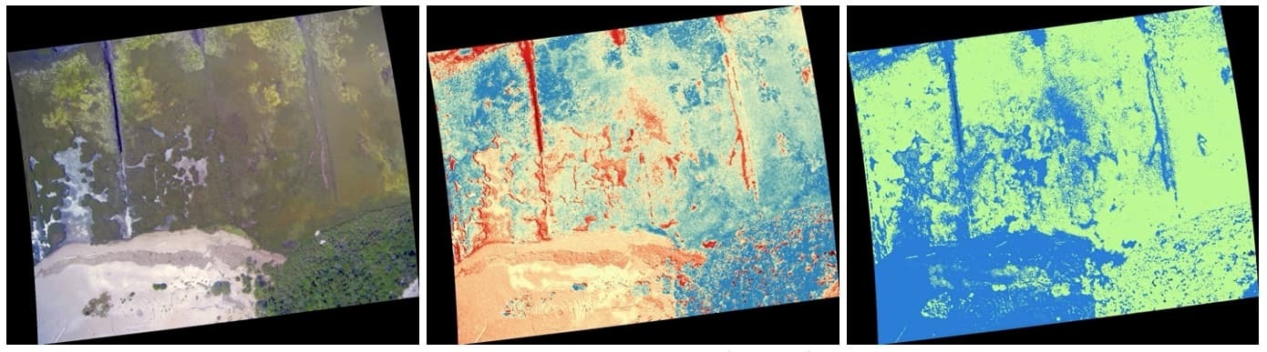
In this exercise, we will use QGIS to apply a formula to a georeferenced image that uses the values contained in the image's pixels to create a new image that identifies likely green vegetation. We will then modify the style (or symbology) of the resulting image to better see our results.
Note: You will need a georeferenced image to complete this tutorial. Georeferencing is the process of adding real-world coordinate information to an image so that it can be used in mapping software. You can produce your own georeferenced image with the separate AREN Georeferencing with QGIS tutorial.
QGIS is an open-source GIS tool for processing and analyzing spatial datasets using layers and analysis tools. QGIS is available for Windows, macOS, ChromeOS, and Linux operating systems.
Technology required
- Computer with Internet access, QGIS software, and a georeferenced aerial image of the study site.
Setting
- Classroom
- Indoor
Lesson Duration
- 1 - 2 class periods
Participant Group Size
- N/A
Analysis Type
- Descriptive
- Quantitative
- GIS
History of development and implementation of this learning activity
- N/A
NGSS Science Standards
There are no direct NGSS standards for GIS. Instead, GIS helps to address the standards in the following areas:
- Science and Engineering Practices (SEPs): GIS is a powerful tool for developing skills such as:
- Analyzing and Interpreting Data: Students can use GIS to analyze spatial data, such as population density or climate patterns, to identify trends and patterns.
- Developing and Using Models: GIS allows students to create and manipulate digital models of geographic phenomena, helping them visualize and understand complex systems.
- Using Mathematics and Computational Thinking: GIS involves various mathematical calculations and spatial analysis techniques, directly supporting this SEP.
- Disciplinary Core Ideas (DCIs): GIS can be used to teach concepts in various Earth and Space Science (ESS) DCIs, such as:
- Earth Systems: Analyzing maps to understand Earth's surface features or patterns of weather.
- Earth and Human Activity: Examining how human activities, like urbanization or deforestation, impact the environment on a geographic scale.
- Crosscutting Concepts (CCCs): GIS is particularly useful for illustrating CCCs like:
- Patterns: Identifying spatial patterns in data to understand natural processes.
- Cause and Effect: Exploring how different factors, when viewed geographically, influence outcomes.
- Systems and System Models: Creating and analyzing geographic models to understand how different parts of Earth's systems interact.